
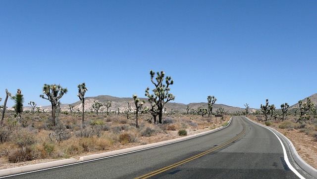
Libya's Leap: Launching a National Satellite to Combat Desertification
In a significant move towards leveraging advanced technology for environmental monitoring, Libya is set to launch its first national satellite dedicated to climate and desertification observation. This initiative, detailed in reports by Il Sole 24 ORE and The Libya Observer, marks a critical step in Libya's efforts to tackle the pervasive issue of desertification and land degradation[2,12].
A Technological Breakthrough for Environmental Monitoring
The satellite, expected to be operational by early 2027, will utilize state-of-the-art sensors to capture high-resolution images and data on desertification patterns, vegetation changes, and water resource availability across Libya's vast arid regions. This real-time data will be invaluable for policymakers, researchers, and conservationists working to mitigate the effects of desertification and implement sustainable land management practices[2].
Synergizing with Global Efforts
This launch aligns with global trends in using satellite technology for environmental monitoring. For instance, the use of Google Earth Engine and machine learning for desertification monitoring in oasis environments, as discussed in a recent Scientific Reports study, underscores the growing reliance on advanced technologies to address complex environmental challenges[3]. Libya's satellite will contribute to this global dataset, offering unique insights into the North African desert ecosystem.
Moreover, the initiative reflects a broader trend of nations investing in space technology to address climate change and environmental degradation. Saudi Arabia's Terraxy, which recently raised USD 3 million to scale its desert greening technology, exemplifies the private sector's role in these efforts[11]. Libya's satellite project, however, stands out for its government-led approach, signaling a strong national commitment to environmental stewardship.
The success of Libya's satellite mission could inspire other nations in similar climatic zones to invest in space-based environmental monitoring. It also highlights the importance of international collaboration in sharing data and technologies to combat desertification on a global scale.