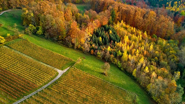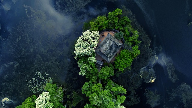

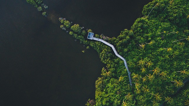
The Normalized Difference Vegetation Index (NDVI) is a crucial tool for monitoring forest health, leveraging satellite data from sources like Sentinel-2 and Landsat[1]. NDVI analysis allows for the assessment of vegetation vigor by measuring the difference between near-infrared and red light reflected by vegetation[2]. This method effectively detects vegetation stress and seasonal changes, providing vital insights into forest dynamics[3]. By analyzing NDVI values, forest managers can identify areas of decline or growth, enabling targeted conservation efforts and informed decision-making[4].
Sentinel-2 and Landsat satellites offer high-resolution imagery that enhances the precision of NDVI analysis for forest health monitoring[1]. These satellites capture detailed data that help in quantifying carbon stock and tree community composition in tropical forests[2]. The combination of satellite and UAV analyses further refines the accuracy of NDVI measurements, allowing for more effective monitoring of tree health from space[3]. This integrated approach ensures comprehensive coverage and timely detection of forest health issues[5].
Advanced technologies, including AI and hyperspectral imaging, are increasingly being integrated with NDVI analysis to improve forest health monitoring[4][5]. These innovations enable more precise detection of vegetation stress and facilitate the assessment of forest health risks[5]. By harnessing these cutting-edge tools, forest managers can enhance their ability to protect and sustain vital forest ecosystems globally[4].