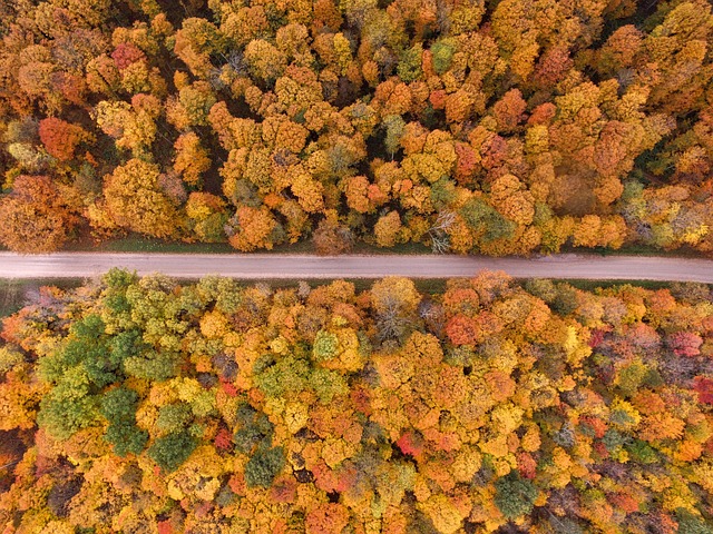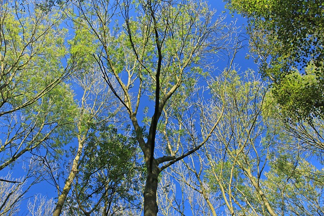

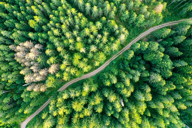
Normalized Difference Vegetation Index (NDVI) analysis plays a pivotal role in monitoring forest health by utilizing satellite data from sources like Sentinel-2 and Landsat[1]. These satellites provide high-resolution imagery that enables detailed observation of vegetation stress and seasonal changes[2]. By analyzing the NDVI, which measures the difference between near-infrared and red light reflected by vegetation, researchers can detect variations in chlorophyll content and plant vigor, indicating potential stress factors such as drought, disease, or deforestation[3].
The application of NDVI in forest health monitoring allows for the assessment of tree health from space, offering a non-invasive method to evaluate large forest areas efficiently[4]. This technology is particularly valuable in tropical regions where traditional ground-based monitoring is challenging due to dense canopy cover and remote locations[5]. Sentinel-2's frequent revisit times and high spatial resolution enhance the capability to monitor rapid changes and provide timely data for forest management and conservation efforts.
Combining NDVI data with other satellite-derived metrics, such as carbon stock quantification and tree community composition analysis, offers a comprehensive approach to forest health assessment[3][4]. This integrated method not only aids in detecting vegetation stress but also supports sustainable forest management practices by providing actionable insights into forest dynamics and health trends over time.