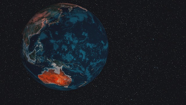


The Normalized Difference Vegetation Index (NDVI) is a powerful tool for monitoring forest health using satellite data from sources like Sentinel-2 and Landsat[1]. By analyzing NDVI values, researchers can detect vegetation stress and monitor seasonal changes in forests globally[2]. This remote sensing technique allows for the assessment of tree health from space, providing critical insights into forest conditions over time[3]. NDVI analysis enables the identification of areas experiencing declines in vegetation health, which may indicate issues such as disease, drought, or deforestation[4]. Utilizing satellite data for forest health monitoring offers a non-invasive and efficient method to track changes in forest ecosystems and inform conservation efforts[5].
Sentinel-2 and Landsat satellites play a crucial role in providing high-resolution imagery for NDVI analysis, allowing for detailed monitoring of forest health on a global scale[1]. These satellite datasets enable researchers to observe changes in vegetation cover, detect signs of stress in trees, and assess the impact of environmental factors on forest ecosystems[2]. By leveraging these advanced satellite technologies, scientists can enhance their understanding of forest dynamics and implement targeted strategies for forest management and conservation[3]. The integration of NDVI data with satellite imagery offers a comprehensive approach to monitoring forest health and promoting sustainable forest practices worldwide[4].